
India Funds Space Startups to Map Cities in 3D From Orbit
Original headline: Three space companies selected to develop high-resolution 3D reconstruction techniques for Indian cities — thehindu.com
More in Defense and aerospace news
India's space agency IN-SPACe has selected three private companies—SpacePixxel, KaleidEO, and Azista Industries—to develop high-resolution 3D maps of Indian cities using satellite imagery. The startups will receive seed funding totaling approximately 1.46 crore rupees to build systems that create detailed models of buildings, heights, and urban volume from space.
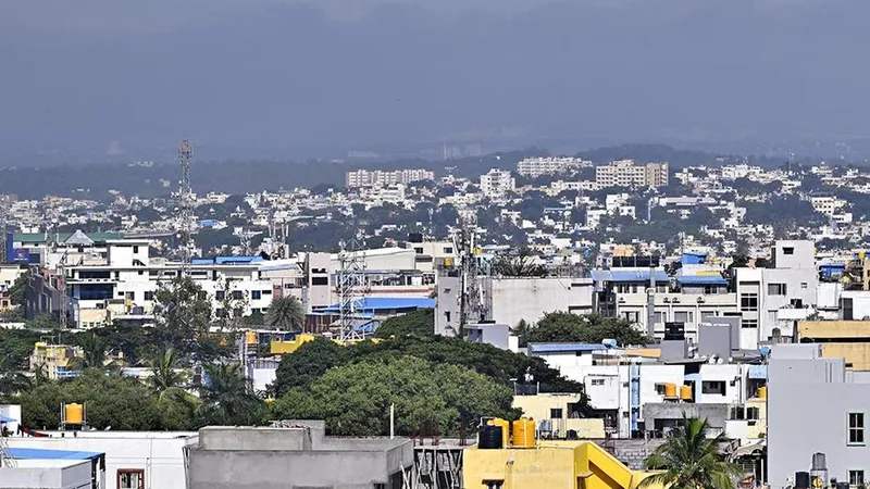
This project aims to provide accurate geospatial data for urban planning, infrastructure development, and disaster risk assessment. The pilot demonstrations will focus on Bengaluru and Shimla, representing contrasting urban environments, and will analyze changes in settlement patterns over time. India is leveraging its growing private space sector to create indigenous mapping capabilities that could transform how cities are planned and managed.
Read the original at thehindu.com
Satirical commentary on real tech news, summarised with AI. Read the original source for the facts. How ZeroDaily works