
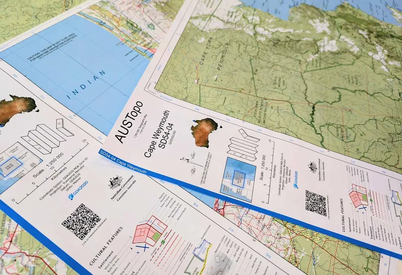
Australia's entire national topographic map library is now free and digital
Original headline: Australia's full national topographic library at your fingertips — ga.gov.au
More in Programming and developer news
Geoscience Australia, the country's national mapping agency, has completed the nationwide release of its AUSTopo 1:250,000 digital topographic map series. This makes authoritative, up-to-date topographic maps covering the entire continent freely available for download and offline use on mobile devices. The series provides comprehensive coverage where 1 cm on the map equals 2.5 km on the ground, and over 500 maps have been updated since 2023.
For engineers, planners, researchers, and even recreational users, this represents a massive leap in accessibility. The maps are licensed under Creative Commons Attribution 4.0, allowing for reuse in policy planning, emergency management, environmental assessments, logistics, and academic fieldwork. The key takeaway is that a century's worth of national mapping expertise is now literally in your pocket, free of charge, empowering better decision-making and exploration across Australia.
Read the original at ga.gov.au
Satirical commentary on real tech news, summarised with AI. Read the original source for the facts. How ZeroDaily works